Flags of the World: Free Flag Colouring Book for Kids
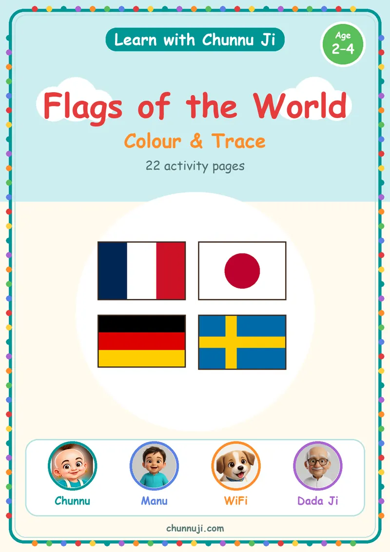
25 pages
Print at 100% (actual size). A4 for India, the UK and Europe; US Letter for the US and Canada.
Free to download and print for personal, home and classroom use. Not for resale or redistribution.
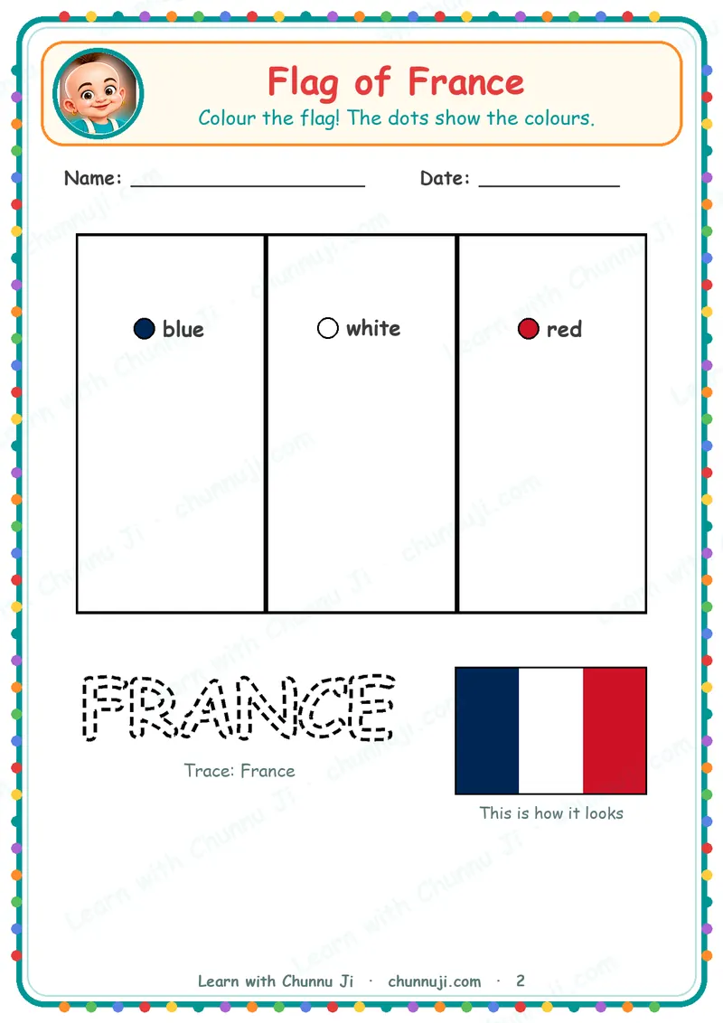
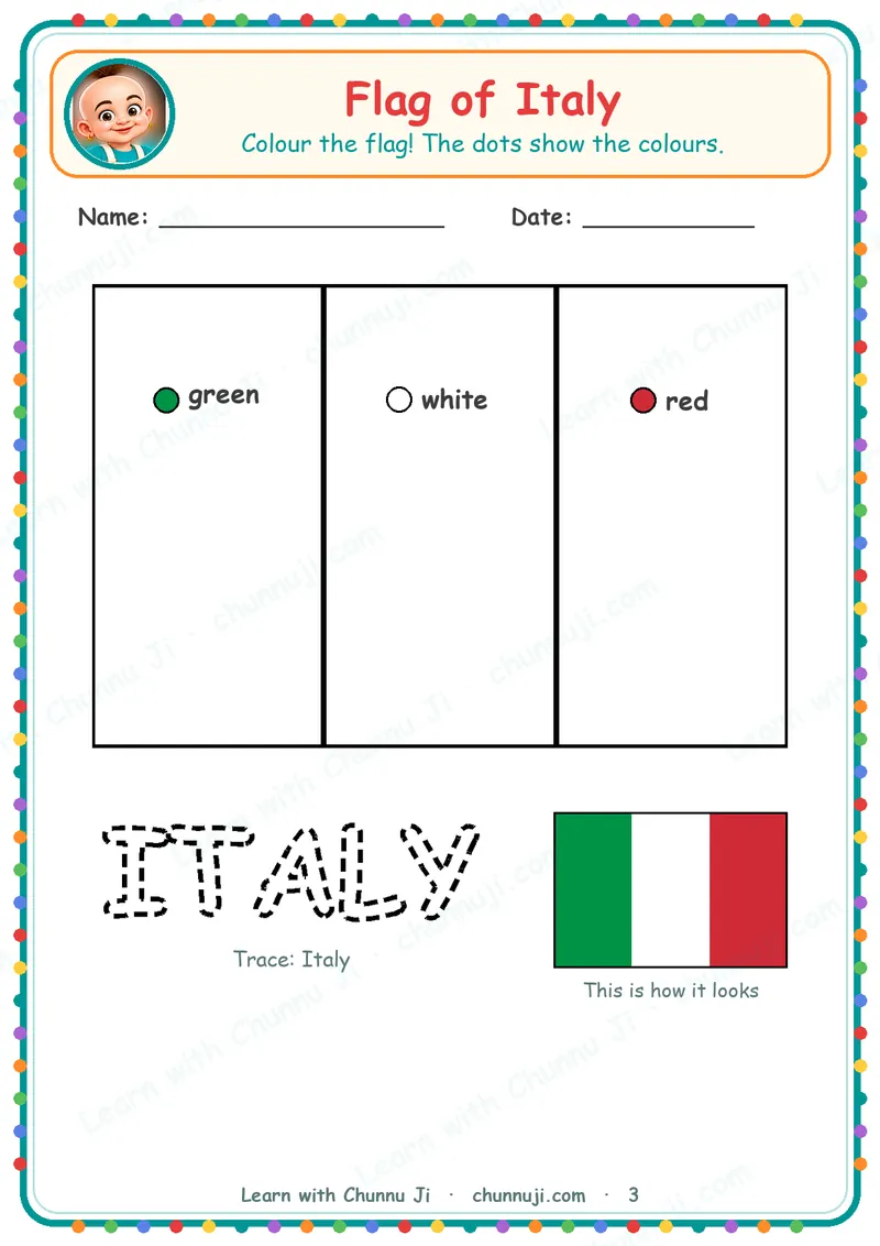
These flags of the world colouring pages come as one 22-page activity book with 21 flags to colour and a matching game at the end. Small colour-name dots on each flag show which colour goes where, so your child can colour with a little help.
What's inside: one flag per page: France, Italy, Germany, Ireland, Belgium, Netherlands, Russia, Austria, Poland, Indonesia, Ukraine, Nigeria, Thailand, Colombia, Bangladesh, Switzerland, Sweden, Finland, Denmark, Norway and Japan. Each page has the flag outline with colour dots (such as "blue", "white", "red"), the country name in outline letters to trace ("Trace: France"), and a small coloured flag labelled "This is how it looks". The last activity page, "Match the Flags", asks your child to draw a line from 5 flags to their names. A "Super Star Learner!" certificate comes at the end.
Age: the cover says Age 2–4.
How to print: choose the A4 PDF (or US Letter in the US and Canada), print at 100% scale ("actual size"), and use colour or black and white. The lines print clearly either way. The small reference flags are easier to follow in colour.
Tips for parents:
- Read the colour words aloud and let your child find the crayon.
- One flag a day is plenty. Praise the effort.
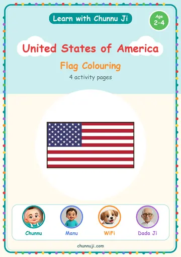
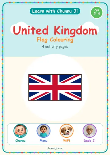
See our flags and countries books. India, the USA and the UK are not in this book; find them in I Love My India and My Country: United Kingdom. The app guide Find Real Objects is a fun extra. Get the Chunnu Ji app on Google Play.
Questions parents ask
Which countries are in Flags of the World?
21 flags, from France and Italy to Nigeria, Thailand, Bangladesh and Japan. India, the USA, the UK, China and Brazil are not included.
My child can't read yet. How do the colour dots work?
Read the colour word on each dot aloud, and your child colours that part.
Does it include maps or capitals?
No. It shows flags and country names only.